Ski area map

Ski map Freyung Geyersberg

Germany · Bayern · 671–762 m

Map sources2
Marked slopes1 km
Elevation671–762 m
Lifts1

Official ski map

Piste-map overview for Freyung Geyersberg.
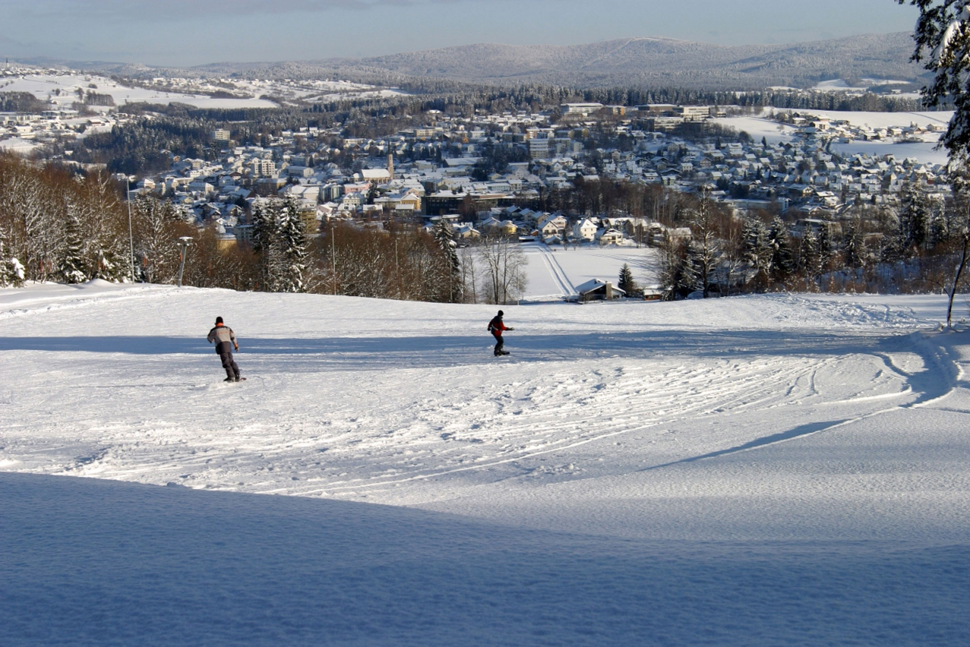
Ski map for Freyung Geyersberg Open full-size map
Select the map to open the full-resolution image.

Location

Ski-area location and surrounding access context.

Ski-area details

Key dimensions for the mapped ski area.

Ski areaFreyung Geyersberg
Resort baseFreyung
CountryGermany
State / regionBayern
Elevation671–762 m
Marked slopes0.6 km
Lifts1
Wider ski regionn/a