Alpine snow reports & forecast intelligence

SkiWeather.eu

Snow reports, Alpine forecasts and resort intelligence.

Track current snow, incoming weather and mountain conditions across the Alps — then see which resorts have the strongest supported setup.

Current Alpine read Selective mountain window
Best supported now Celerina
OpportunityWeather window
Live Alpine ski weather intelligence

Alpine ski weather & resort intelligence

A concise Alpine overview: what changed, where current evidence is strongest, and which deeper report to open next.

Shoulder season priorities
Shoulder seasonOperational weather window
Verified operation28% Freezing level22% Precipitation phase20%
Today across the Alps

No single Alpine region has a decisive advantage yet

A concise Alpine overview: what changed, where current evidence is strongest, and which deeper report to open next.

Locally variable Alpine setup

No single broad regional edge dominates; altitude, exposure and timing remain decisive.

Latest movementThe leading resort signal changed in the latest comparison cycle.
Resort opportunities

Where the pattern creates the clearest mountain choices

Rank all resorts →

The broad pattern sets the context; resort-level evidence reveals where the clearest mountain choices emerge.

Across the Alps

Where the Alpine pattern differs

Regional contrasts show the broad setup; transition signals show where that setup is most fragile.

Explore Alpine map →
French Alps Locally variable

No single broad regional edge dominates; altitude, exposure and timing remain decisive.

Situation confidence64% Lead resortLa Rosiere
Swiss Alps Locally variable

No single broad regional edge dominates; altitude, exposure and timing remain decisive.

Situation confidence65% Lead resortCelerina
Austrian Alps Locally variable

No single broad regional edge dominates; altitude, exposure and timing remain decisive.

Situation confidence65% Lead resortHochzillertal
Italian Alps Locally variable

No single broad regional edge dominates; altitude, exposure and timing remain decisive.

Situation confidence65% Lead resortAlta Badia
Want the detail? How this Alpine read is built Signals, transitions and methodology
Current evidence first

Live and forecast mountain signals are kept separate from enduring resort Fit, so a short weather event cannot rewrite the resort itself.

Season decides relevance

Snow-memory and snow-caution signals are deliberately suppressed outside the winter decision season.

Missing is not negative

Incomplete evidence is not converted into an artificial zero or a hidden penalty; the interface simply avoids making a stronger claim than the available mountain signal supports.

Advanced context is optional: the main decision section above remains the primary reading path.Open methodology →
The Alpine pattern

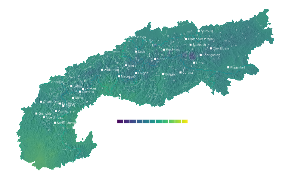
See where the Alpine weather is setting up

Compare precipitation and mid-mountain temperature before opening the full maps.

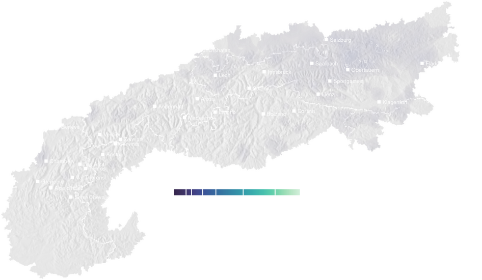
Precipitation forecast map for the Alps for Sat, Oct 3 Daily total
Sat, Oct 3Precipitation
Strongest visible short-range signal: Les Crosets · 116.6 mm. Use the map to see whether it forms a broad Alpine pattern or a local hotspot.
↗
Temperature forecast map for the Alps for Sat, Oct 3 Mid-mountain max
Sat, Oct 3Temperature
Mid-mountain temperature separates cooler Alpine sectors from warmer valleys and helps explain where precipitation feels most disruptive.
↗
Behind the read

Check the conditions behind the Alpine story

Snow, precipitation and temperature tables for verification.

High-mountain snow

Snow reports →

24hSince yesterday: little change

Leading current high-mountain snow report: Piau Engaly with about 350 cm on the upper mountain.

Why it matters

residual high-mountain snow can affect summer mountain conditions above 2,500 m, but it does not imply that ski terrain is open or skiable.

SkiresortSnow (cm)Temp (°C)
lowerupperlohi
Piau Engaly13035059
Les Deux Alpes40340713
Les Arcs86300814
Vaujany1542991018
Lauchernalp70299713
Saas Fee41265913
Montgenevre240260817
Chamonix30259914
Murren34252-21
Meribel1852501015
Fri, Oct 2

48h precipitation outlook

48h outlook →

24hSince yesterday: lead changed from Oberammergau to Les Crosets

Strongest visible 48h precipitation signal: Les Crosets at about 116.6 mm.

Why it matters

a strong short-range precipitation signal can reduce visibility and mountain comfort; compare temperature and webcams before travel.

SkiresortPrecipitation (mm)Wet daysTemp (°C)
totalmax/day≥ 1 mmhi
Les Crosets116.660.1212
Sauda79.140.4213
Morzine61.456215
Rodland60.340.3213
Gloppen55.243.1211
Les Rousses5540216
Lamoura5540213
Samoens5046221
Sixt5046220
Voss504028
Sat, Oct 3 – Sun, Oct 4

5-day precipitation forecast

5-day forecast →

24hSince yesterday: lead changed from Fjellhaugen to Sauda

Strongest visible 5-day precipitation signal: Sauda at about 235.1 mm.

Why it matters

multi-day totals reveal persistent wet patterns and help separate one short event from a broader unsettled period.

SkiresortPrecipitation (mm)Wet daysTemp (°C)
totalmax/day≥ 1 mmhi
Sauda235.192.5513
Fjellhaugen19489512
Roldal19489511
Kvamskogen19489512
Myrkdalen19489511
Voss18989410
Haukelifjell1898949
Rodland142.549.4512
Les Crosets139.660.1513
Gloppen120.343.159
Sat, Oct 3 – Wed, Oct 7
Next weather window

Follow the next mountain-weather window

Regional weather, maps and webcams for the next mountain window.

Why it behaves this way

Understand why the mountain behaves this way

Context for Alpine weather, snow signals and mountain planning.

Snow science

A smarter way to choose where to ski

Choosing a ski resort has always involved compromise. Snow matters, but so do terrain, altitude, lift infrastructure, travel time, resort size, family suitability and the kind of trip you are planning. A destination that is excellent for a week…

Read snow insight