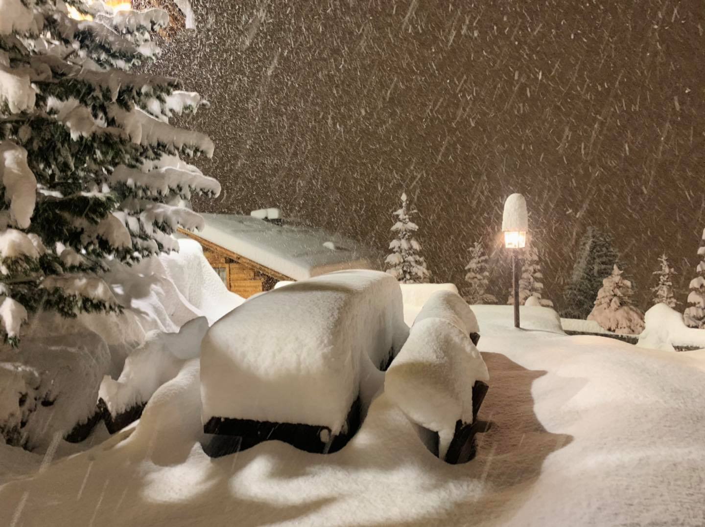
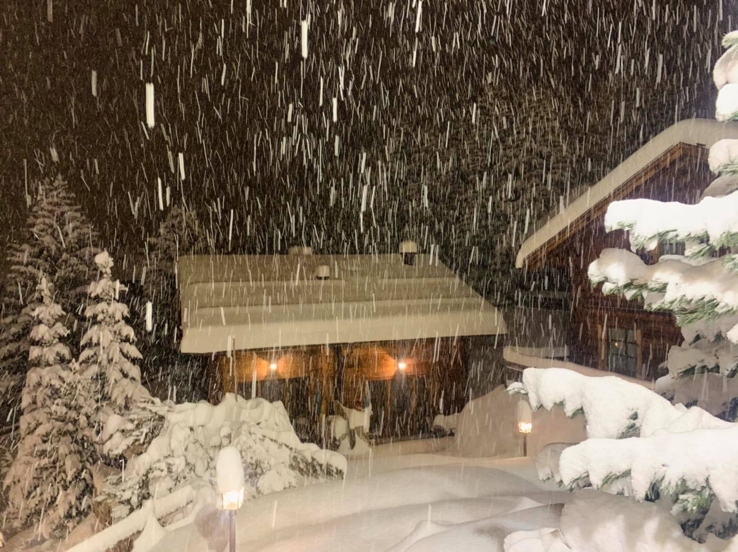
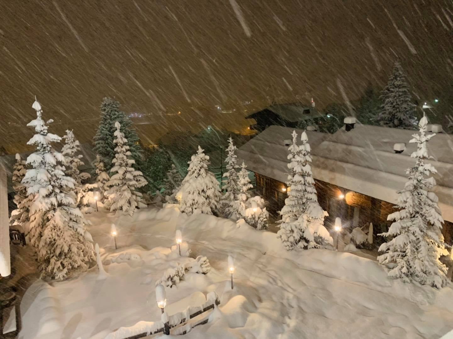
A lot of fresh snow can be expected from Friday to Tuesday, especially along and south of the main Alpine ridge. Already in the early morning of Friday it starts to snow from Ticino to Engadin. During the day, the snowfall increases and spreads to the south of Austria.
On the southern side of the Alps, larger amounts of snow can then be expected within a short period of time. Especially in Ost Tirol, Karnten and Sud Tirol, amounts of fresh snow of well over 2 meters can come together in the valleys until Tuesday. At high altitudes, more than 3 meters of fresh snow is very well possible.

This extreme snowfall comes courtesy of an increasingly vigorous southerly current that will pick up plenty of moisture from the relatively warm Mediterranean before pushing up hard against the southern flanks of the Alps. By Sunday morning, resorts that could see between 1m and 1.5m of fresh snow at altitude include Passo Tonale, Arabba, Nassfeld, Obergurgl and Heiligenblut.
Most other parts of the Italian, French, Swiss and western Austrian Alps are also expected to see significant snow on Friday and/or Saturday, but there will be less snow in the north-east (e.g. Salzburgland).